Select or drop a image or 3D model here to search.
We support JPG, JPEG, PNG, GIF, WEBP, GLB, OBJ, STL, FBX. More formats will be added in the future.
Asset Overview
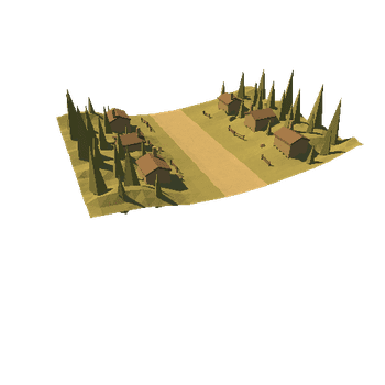
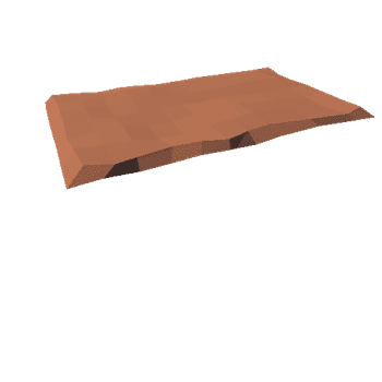
[Burry Holms](https://en.wikipedia.org/wiki/Burry_Holms) is a small tidal island located at the northern end of the Gower Peninsula, Wales. This is a 3D model with the height data obtained from LiDAR scans, overlaid with Google Maps satellite images. Vertical scale has been exaggerated by 50%
For more details see my blog entry at - https://theretiredengineer.wordpress.com/2020/06/07/burry-holms/
Attributions:
* LiDAR data obtained from the Welsh Government portal - [https://lle.gov.wales/home?lang=en](https://lle.gov.wales/home?lang=en)
* Image data ©2020 Google