Select or drop a image or 3D model here to search.
We support JPG, JPEG, PNG, GIF, WEBP, GLB, OBJ, STL, FBX. More formats will be added in the future.
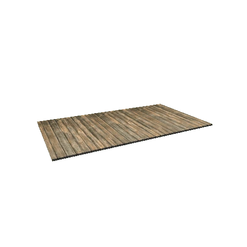
Asset Overview
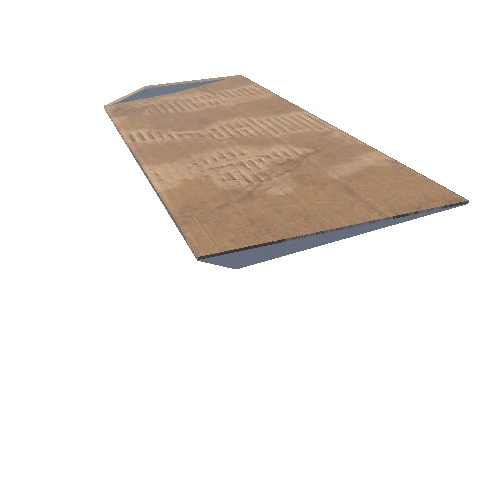
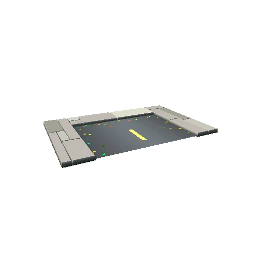
This is part of the result of the aerial survey, on 10 september 2015 on a beautiful site in Hoogersmilde (NL). The drone that was used for this survey is a custom build multirotor.
Total area: 60 ha
Operator: Eyewings (NL)
GCP-points: Leop (NL)
Post-processing: Kestrel Geo-data (NL)