Select or drop a image or 3D model here to search.
We support JPG, JPEG, PNG, GIF, WEBP, GLB, OBJ, STL, FBX. More formats will be added in the future.
Asset Overview
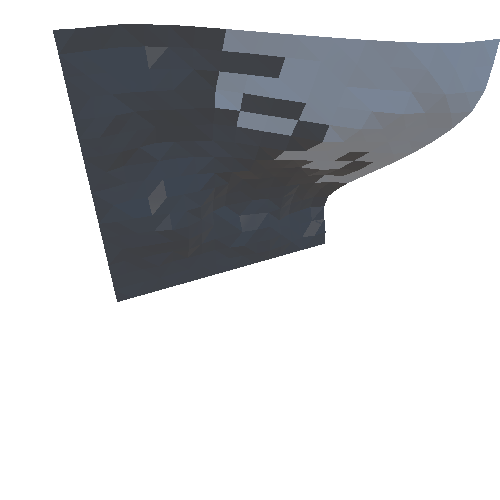
Recently we were asked to survey a cliff in Cornwall with the intention of providing a large number of photographs for a local Geoscience company investigating the integrity of the cliff.
We wanted to test how effective Drone Deploy was at creating a 3D model of the cliff from our images.
This model is compilled of 75 images looking straight down.
We are currently processing a version with 200+ images including oblique angles with Pix-4D so will see how the results compare.


