Select or drop a image or 3D model here to search.
We support JPG, JPEG, PNG, GIF, WEBP, GLB, OBJ, STL, FBX. More formats will be added in the future.
Asset Overview
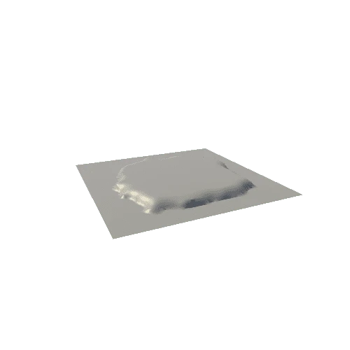
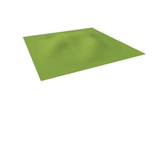
3D model of Jezero Crater on Mars (landing site of Mars 2020 Perseverance Rover). The crater is about 50 km wide (and surface has 5x vertical exaggeration). This crater used to be a large lake that was filled in by the valleys (one in the west and also the faint one in the northwest). It then filled up completely and overflowed, causing an outlet canyon that can be seen in the northeast.
Make sure to zoom in on the Jezero delta (just at the bottom of the valley flowing in in the west). This is where the sediment of the incoming river was deposited. Here is where we are hoping to find evidence of ancient fluvial activity, habitable environments, and potential signs of ancient life.
Check out Perseverance rover's current location here!: https://mars.nasa.gov/mars2020/mission/where-is-the-rover/
This model was made in QGIS using topography and imagery obtained from Context Camera on Mars (CTX; https://astrogeology.usgs.gov/search/map/Mars/Mars2020/Jez_MARS2020_CTX_DEM_Science_Mosaic).


