Select or drop a image or 3D model here to search.
We support JPG, JPEG, PNG, GIF, WEBP, GLB, OBJ, STL, FBX. More formats will be added in the future.
Asset Overview
DEM data from https://astrogeology.usgs.gov/search/map/Mars/Topography/HRSC_MOLA_Blend/Mars_HRSC_MOLA_BlendDEM_Global_200mp (1)
File was downscaled to 5km resolution The raw data was converted to a PLY file using custom software, see https://theretiredengineer.wordpress.com/2021/01/31/earth-terrain-model-2/
Terrain colour mapping derived from http://soliton.vm.bytemark.co.uk/pub/cpt-city/esri/hypsometry/planet/tn/mars_1.png.index.html
Original 3D file was 500 Mbytes ( >9 million verticies and >18 million faces ). Reduced to <50 Mbytes for upload ( 900,000 verticies and 1.8 million faces ) using Meshlab.
Vertical scale of features magnified 20x
(1) Fergason, R. L, Hare, T. M., & Laura, J. (2018). HRSC and MOLA Blended Digital Elevation Model at 200m v2. Astrogeology PDS Annex, U.S. Geological Survey. http://bit.ly/HRSC_MOLA_Blend_v0

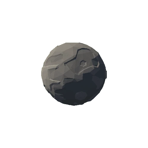



/Screenshots/sphere_01 (1)_110.webp)
