Select or drop a image or 3D model here to search.
We support JPG, JPEG, PNG, GIF, WEBP, GLB, OBJ, STL, FBX. More formats will be added in the future.
Asset Overview
📍 [Mill Valley, CA](https://scaniver.se/L37.92299,-122.57392)
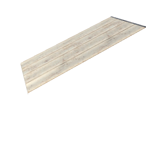
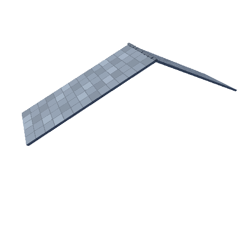
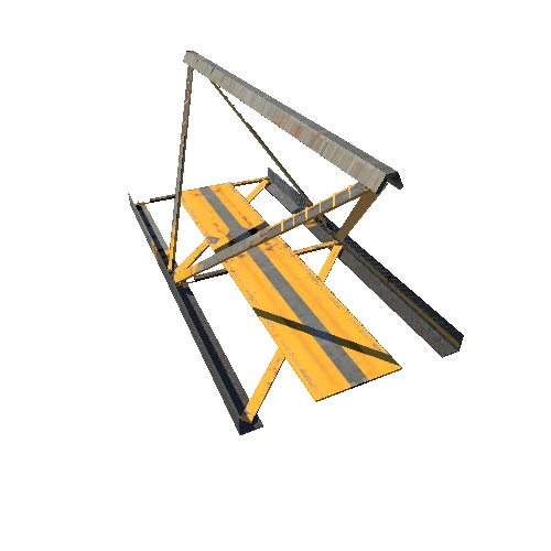
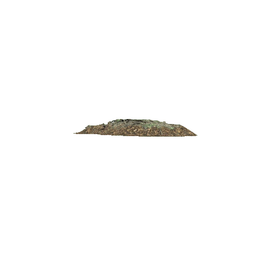
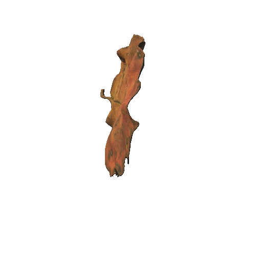
On Nov. 30, 1944, a large Navy reconnaissance plane bound from Alameda to Hawaii developed engine trouble over the Golden Gate. The pilot made a sweeping right turn, fighting to keep the plane in the air. He failed. The plane crashed into the south face of Mount Tamalpais, above Mill Valley. Everyone aboard - eight young Navy fliers - was killed.
The wreckage of that plane is still there, about halfway up the mountain, scattered under manzanita brush and laurel trees, a lonely and remote reminder of an almost forgotten tragedy from World War II.
https://www.sfgate.com/local/article/mount-tam-marin-wwii-plane-crash-hike-trail-16250392.php
"The squadron has no heroes, just individuals and crews who did their duty to the limit of their ability."
Scanned with the iPhone 13 Pro and Scaniverse.
Please feel free to follow my collections of daily scans ([link](https://skfb.ly/6YuwK))