Select or drop a image or 3D model here to search.
We support JPG, JPEG, PNG, GIF, WEBP, GLB, OBJ, STL, FBX. More formats will be added in the future.
Asset Overview
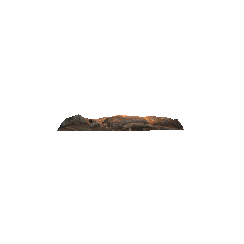
This is a 3D model of the National Geospatial Information (NGI) in Cape Town, South Africa. The model was created from aerial photography using a multirotor. The model has been cropped in order to facilitate upload to Sketchfab. Software was written in order to remove "spikey" bits in the model. No other editing or smoothing or decimination or any other degradation was done to the model.
