Select or drop a image or 3D model here to search.
We support JPG, JPEG, PNG, GIF, WEBP, GLB, OBJ, STL, FBX. More formats will be added in the future.
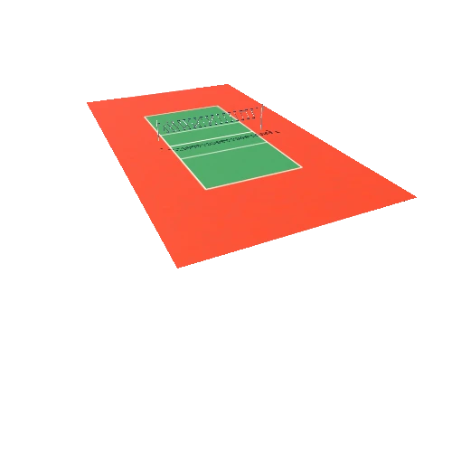
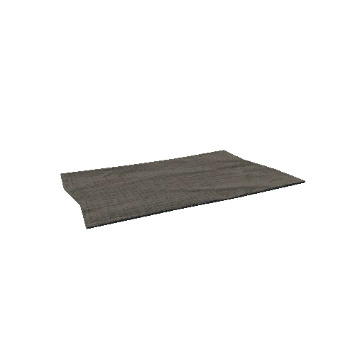
Asset Overview
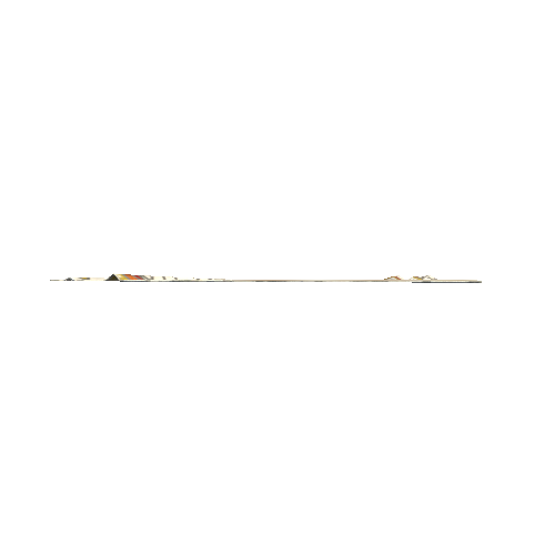
Created from a UK Environment Agency LiDAR survey with data released under an Open Government Licence.
Airborne LiDAR data is usually treated as '2.5D' or viewed 'flat' in GIS. Here, I have transformed the height grid into individual XYZ points and meshed them. A 'normal map' is used to project data from the high resolution (0.5m) to this reduced complexity version, making it appear more detailed than it is.

/Screenshots/Soccer Football Floor Triangulate (9)_110.webp)


/Screenshots/Soccer Football Floor Triangulate (8)_110.webp)