Select or drop a image or 3D model here to search.
We support JPG, JPEG, PNG, GIF, WEBP, GLB, OBJ, STL, FBX. More formats will be added in the future.
Asset Overview
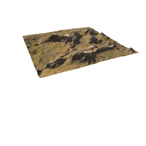
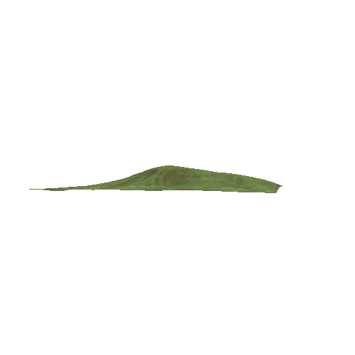
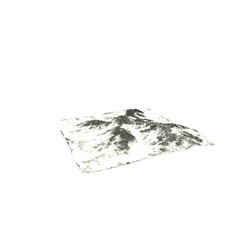
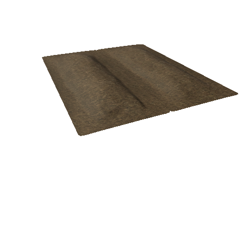
ALOS World 30m DEM using Esri imagery as the terrain layer. No vertical exaggeration
* Generator: [DEM Net Elevation API](https://elevationapi.com)
* Digital Elevation Model: [AW3D30 OpenTopography](https://opentopography.org/)
* Imagery: [Esri World Imagery](https://services.arcgisonline.com/ArcGIS/rest/services/World_Imagery/MapServer)


