Select or drop a image or 3D model here to search.
We support JPG, JPEG, PNG, GIF, WEBP, GLB, OBJ, STL, FBX. More formats will be added in the future.
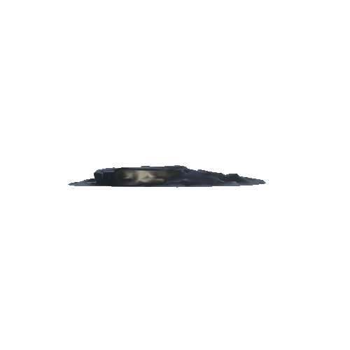
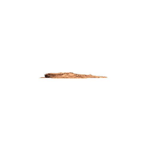
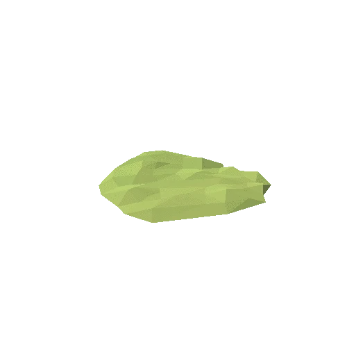
Asset Overview
This is a sample of a simplified 3D mesh generated from every 4th photo in a dataset of 200 photos (would be much sharper, but too large). The photos were collected with a DJI Phantom 3 Advanced Quadcopter and processed with Pix4D photogrammetry software. With this georeferenced model accurate measurements of cut and fill, stockpiles, distances and areas can be calculated on the fly in a manner of hours from the flight to completion it's a streamlined and cost saver when compared to conventional surveying. Conventional Lidar would have 5-10 points per sq. M these models have hundreds!!