Select or drop a image or 3D model here to search.
We support JPG, JPEG, PNG, GIF, WEBP, GLB, OBJ, STL, FBX. More formats will be added in the future.
Asset Overview
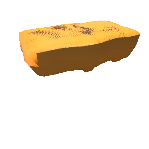
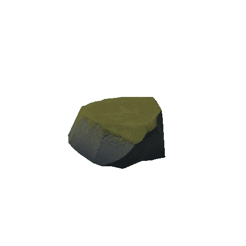
Topography model of the Matterhorn in Switzerland. Created from ASTER GLOBAL DEM data downloaded from http://earthexplorer.usgs.gov/
The data are posted on a 1 arc-second (approximately 30–m at the equator) grid.
To obtain the STL model, I used DEMto3d, an easy and useful tool to convert DEM data to STL models ready to print. This tool is available in the next link http://www.demto3d.com/
You only need DEMto3D and the free GIS software KOSMO http://www.opengis.es/
