Select or drop a image or 3D model here to search.
We support JPG, JPEG, PNG, GIF, WEBP, GLB, OBJ, STL, FBX. More formats will be added in the future.
Asset Overview
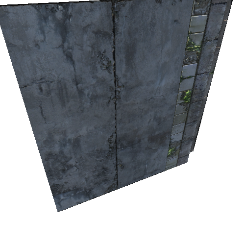
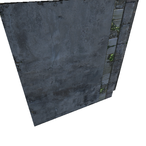
Pozieres shed and civilian cemetery visible on SE corner. Diagonal road running towards Thiepval (NW corner, out of frame). Mouquet Farm is in the centre, vertical exaggeration 1:7
* Generator: [DEM Net Elevation API](https://elevationapi.com)
* Mesh reduction: [geometry3Sharp (GradientSpace, Ryan Schmidt) BSL 1.0 License](https://github.com/gradientspace/geometry3Sharp/blob/master/LICENSE)
* Digital Elevation Model: [IGN](https://ign.fr)
* Imagery: [MapTiler Cloud Satellite](https://www.maptiler.com)