Select or drop a image or 3D model here to search.
We support JPG, JPEG, PNG, GIF, WEBP, GLB, OBJ, STL, FBX. More formats will be added in the future.
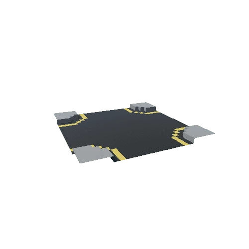
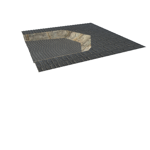
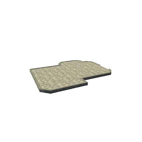
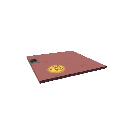
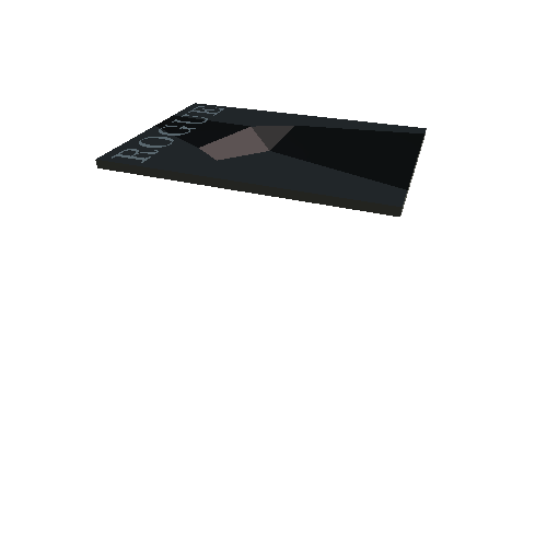
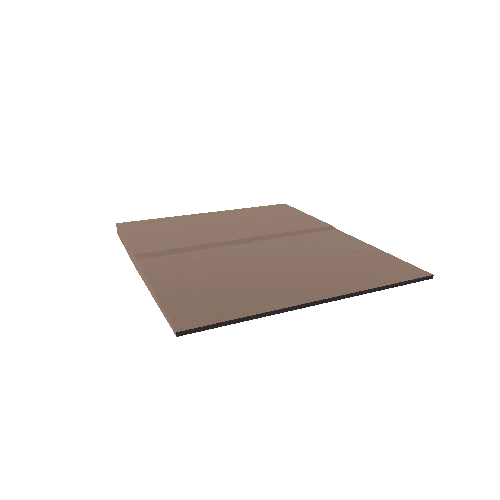
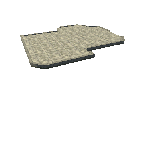
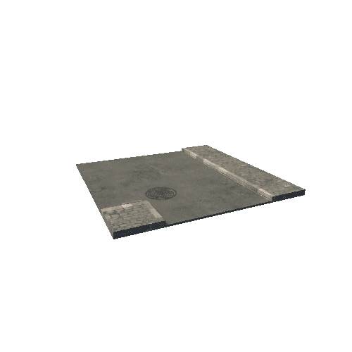
Asset Overview
3D models created from high resolution photos and videos acquired by Unmanned Aircraft. From this data we can create DTMs, Index Maps, Orthomosaics, Contours, pointclouds, and more. Video captured by Awesome Aerials. Model was created from only 66 frames of the video.
A short video fly through of the model can be seen here:
https://youtu.be/t_T9YVXZxOI