Select or drop a image or 3D model here to search.
We support JPG, JPEG, PNG, GIF, WEBP, GLB, OBJ, STL, FBX. More formats will be added in the future.
Asset Overview
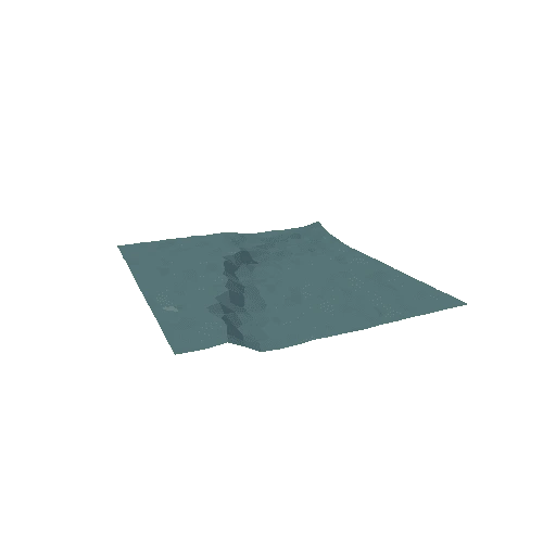
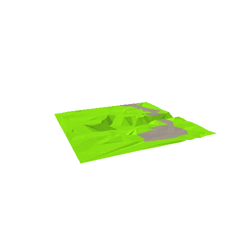
Badland morphology, and stream piracy. At Zabriskie Point a short, small channel (Gower Gulch) has captured the much larger Furnace Creek Wash. This event would have happened anyway, but was accelerated by human intervention in 1941 with the objective of reducing flood hazards in Furnace Creek. What the engineers did not realize at the time is that the knickpoint would quickly migrate upstream in Gower Gulch and reach the highway in Furnace Creek Wash, endangering it. Death Valley National Park, California, USA.
Vertical exaggeration 1.5x.
* Generator: [DEM Net Elevation API](https://elevationapi.com)
* Digital Elevation Model: [AW3D30 OpenTopography](https://opentopography.org/)
* Imagery: [Esri World Imagery](https://services.arcgisonline.com/ArcGIS/rest/services/World_Imagery/MapServer)