Select or drop a image or 3D model here to search.
We support JPG, JPEG, PNG, GIF, WEBP, GLB, OBJ, STL, FBX. More formats will be added in the future.
Asset Overview
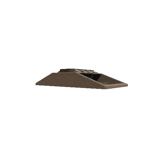
Chillahuita dome, located in northern Chile, is a dacite dome possibly associated with the Altiplano-Puna Volcanic Complex.
"Pixellation" of the model is due to the small size of the feature (only a few kilometers across) compared to the resolution of the digital elevation model (30 m/pixel).
Model generated using the ASTER Global Digital Elevation Model from http://gdex.cr.usgs.gov/gdex. 3x vertical exaggeration.
NASA/METI/AIST/Japan Spacesystems, and U.S./Japan ASTER Science Team (2009). ASTER Global Digital Elevation Model [Data set]. NASA EOSDIS Land Processes DAAC. doi: 10.5067/ASTER/ASTGTM.002


/Screenshots/SF_Fighter-ZR4 (4)_110.webp)


/Screenshots/SF_Fighter-ZR4 (3)_110.webp)

