Select or drop a image or 3D model here to search.
We support JPG, JPEG, PNG, GIF, WEBP, GLB, OBJ, STL, FBX. More formats will be added in the future.
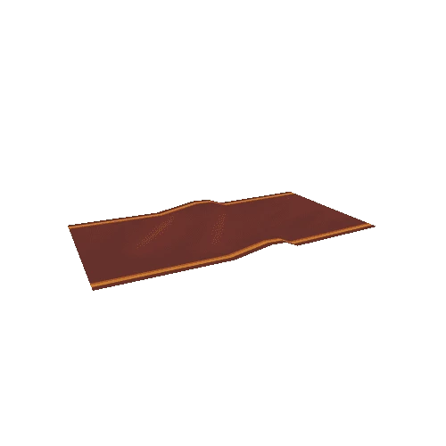
Asset Overview
Day Nunatak, Snow Hill Island, James Ross Archipelago, Antarctica.
Model view starts facing South. Center of Nunatak is approximated 64.499588 degrees south latitude, 57.347581 degrees west longitude.
This model is supplementary data to:
Tobin, T. S., Flannery, D., Sousa, F.J. (2018). "Stratigraphy, sedimentology and paleontology of Upper Cretaceous deposits of Day Nunatak, Snow Hill Island, Antarctica." Cretaceous Research 84: 407-419. https://doi.org/10.1016/j.cretres.2017.12.006