Select or drop a image or 3D model here to search.
We support JPG, JPEG, PNG, GIF, WEBP, GLB, OBJ, STL, FBX. More formats will be added in the future.
Asset Overview
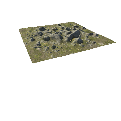
3-D map showing the locations of supplemental resources related to the Tempe Butte field trip taken by various Arizona State University classes.
* Generator: [DEM Net Elevation API](https://elevationapi.com)
* Digital Elevation Model: [AW3D30 OpenTopography](https://opentopography.org/)
* Imagery: [Esri World Imagery](https://services.arcgisonline.com/ArcGIS/rest/services/World_Imagery/MapServer)


