Select or drop a image or 3D model here to search.
We support JPG, JPEG, PNG, GIF, WEBP, GLB, OBJ, STL, FBX. More formats will be added in the future.
Asset Overview
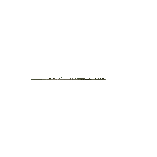
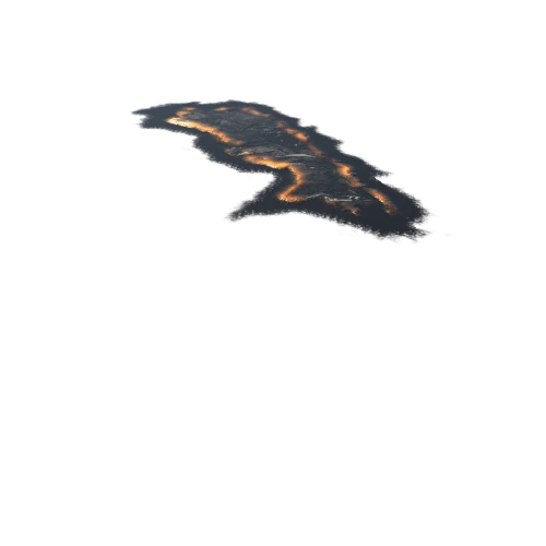
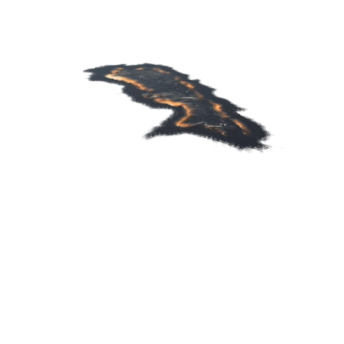
Pete Henn in Land Management collected this UAV imagery of Florida Scrub-Jay habitat at the Lake Monroe Conservation Area.
We used ArcGIS to infer Ground Control Points at trail intersections, and then used Pix4D to georeference it all in 3D. We were then able to create a Scrub-Jay habitat suitability model based on vegetation height (Digital Surface Model elevation minus LiDAR elevation).
