Select or drop a image or 3D model here to search.
We support JPG, JPEG, PNG, GIF, WEBP, GLB, OBJ, STL, FBX. More formats will be added in the future.
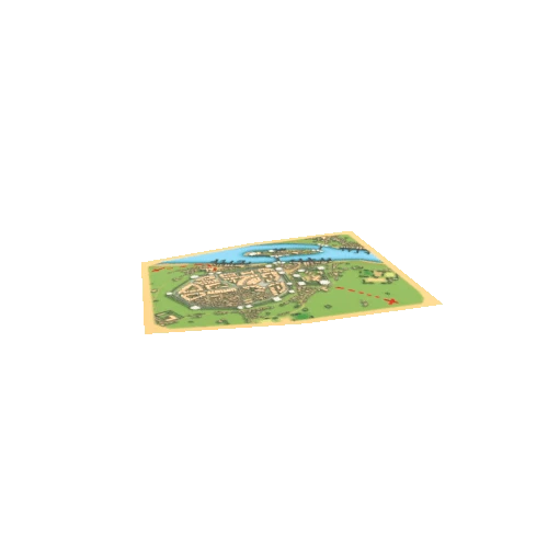
Asset Overview
Glacier National Park is a 1,583-sq.-mi. wilderness area in Montana's Rocky Mountains, with glacier-carved peaks and valleys running to the Canadian border. It's crossed by the mountainous Going-to-the-Sun Road. Among more than 700 miles of hiking trails, it has a route to photogenic Hidden Lake. Other activities include backpacking, cycling and camping. Diverse wildlife ranges from mountain goats to grizzly bears.