Select or drop a image or 3D model here to search.
We support JPG, JPEG, PNG, GIF, WEBP, GLB, OBJ, STL, FBX. More formats will be added in the future.
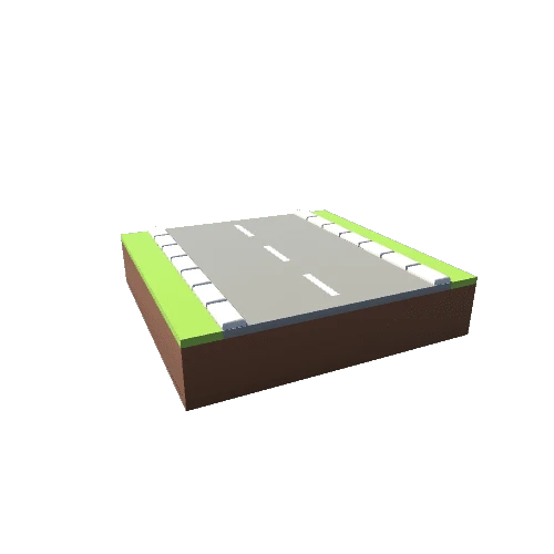
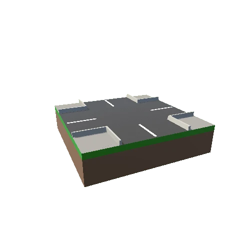
Asset Overview
Kaibab Creek is a primary tributary of the Colorado River, which it joins with inside the deep Grand Canyon.
Here, I have used sky view factor, slope, and cast shadows to create the intensity image that is fused with the satellite image.
This model was created using a 1/3 arcsecond DEM (USGS) and Sentinel cloud-free imagery (EOX) using the following tectoplot command:
tectoplot -r -112.7 -112.5 36.4 36.6 -t /Users/kylebradley/Downloads/USGS_13_n37w113_20210611.tif -tsky -tsl -tshad 45 8 -tgam 0.5 -tsent 0 -makeply topoexag 1.0 maxsize 1200 sidebox 3 lightgray