Select or drop a image or 3D model here to search.
We support JPG, JPEG, PNG, GIF, WEBP, GLB, OBJ, STL, FBX. More formats will be added in the future.
Asset Overview
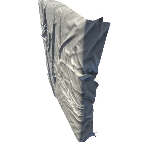
This great continental arc volcano erupted spectacularly on May 18, 1980 (https://en.wikipedia.org/wiki/Mount_St.Helens), leaving a wide region of destruction from the flank collapse landslide, pyroclastic flows, and lahars.
This model was produced using a 1/3 arcsecond DEM (USGS) and Sentinel cloud-free imagery (EOX IT Services GmbH), using the open-source script tectoplot (https://github.com/kyleedwardbradley/tectoplot.
The command used was
tectoplot -r -122.31 -122.06 46.12 46.30 -t ~/Downloads/USGS_13_n47w123_20210615.tif -pgs 0.5 -t0 -tgam 0.5 -tshad 45 5 -tsent 0.1 -makeply topoexag 1 maxsize 1000 sidebox 2 lightgray
