Select or drop a image or 3D model here to search.
We support JPG, JPEG, PNG, GIF, WEBP, GLB, OBJ, STL, FBX. More formats will be added in the future.
Asset Overview
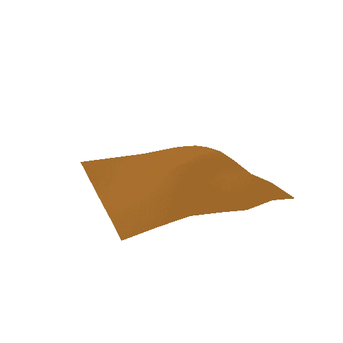
A 3D model of [Llyn y Fan Fawr](https://en.wikipedia.org/wiki/Llyn_y_Fan_Fawr) and the surrounding area in the Brecon Beacons, South Wales. The height data was obtained from LiDAR scans, overlaid with Google Maps satellite images. The area covered is a 2km x 2km square and the details of the data processing can be found on my blog:
* [https://theretiredengineer.wordpress.com/2017/12/10/open-lidar-data/](https://theretiredengineer.wordpress.com/2017/12/10/open-lidar-data/)
* [https://theretiredengineer.wordpress.com/2018/08/05/lidar-3d-print/](https://theretiredengineer.wordpress.com/2018/08/05/lidar-3d-print/)
Attributions:
* LiDAR data obtained from the Welsh Government portal - [http://lle.gov.wales/home?lang=en](http://lle.gov.wales/home?lang=en)
* Image data ©2019 Google