Select or drop a image or 3D model here to search.
We support JPG, JPEG, PNG, GIF, WEBP, GLB, OBJ, STL, FBX. More formats will be added in the future.
Asset Overview
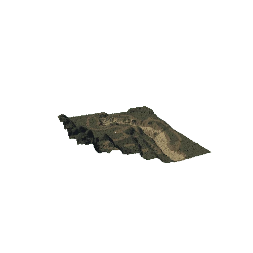
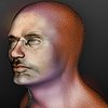
Longyearbyen is the capital city of the Svalbard island. There are over 2400 people living there in arctic conditions.
Longyearbyen also known as Longyear City was established by and named after American John Munro Longyear, whose Arctic Coal Company started coal mining operations there in 1906. Operations were taken over by Store Norske Spitsbergen Kulkompani (SNSK) in 1916, which still conducts mining. The town was almost completely destroyed by the German Kriegsmarine on 8 August 1943 but was rebuilt after the Second World War. Historically, Longyearbyen was a company town, but most mining operations moved to Sveagruva during the 1990s, and production ceased in 2017 due to immense financial losses suffered by SNSK since 2014 due to market conditions.[3] Meanwhile, the town has seen a large increase in tourism and research.
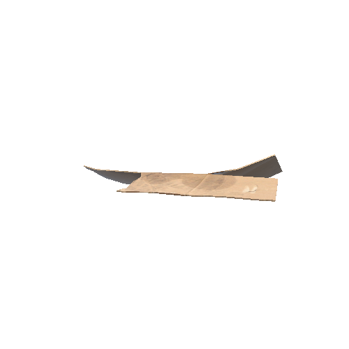
This town was recreated using videogrammetry in Agisoft software from 500 frames from this video: https://www.youtube.com/watch?v=LlOfxlGU2ZQ