Select or drop a image or 3D model here to search.
We support JPG, JPEG, PNG, GIF, WEBP, GLB, OBJ, STL, FBX. More formats will be added in the future.
Asset Overview
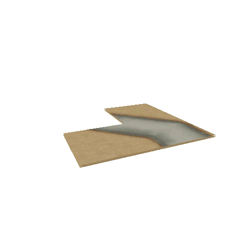
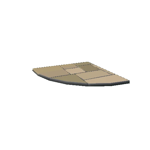
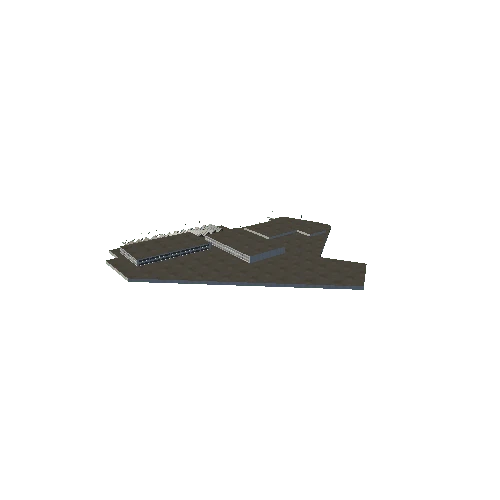
One of the tectonic terranes that make up Connecticut. Terrane boundary defined using the CT GIS Bedrock Geology Map from the CT DEEP. Elevation data from the 1/3 arcsec digital elevation model downloaded from the USGS National Map.
"Hole" in the terrane reflects the location of the Willimantic Dome, part of the Avalonian terrane, poking through the younger rocks of the Merrimack.
Recommended for you