Select or drop a image or 3D model here to search.
We support JPG, JPEG, PNG, GIF, WEBP, GLB, OBJ, STL, FBX. More formats will be added in the future.
Asset Overview
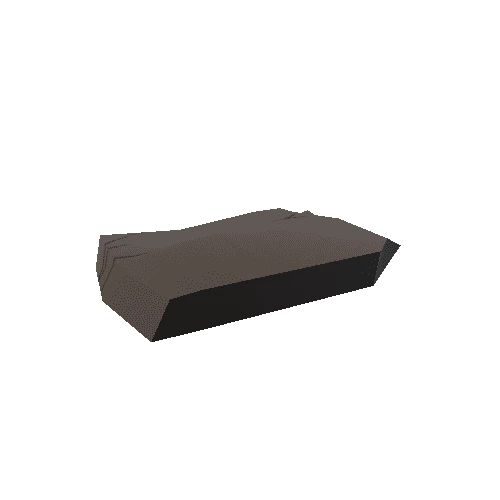
There is a digital terrain model for the Morasko crater field (western Poland) prepared using the natural neighbor interpolation method with advanced options. The input elevation data represent points nad breaklines. The points were collected from the digitization of contours from topographical map at 1: 10 000 scale. The breaklines are special topographic features (ridge lines, valley lines, and upper and lower edges of natural scarps) which were edited through some of the points as simple 2D polyline objects. Moreover, the resulted model was smoothed using the mesh denoise method. This is an effective feature-preserving algorithm which allows to avoid oversmoothing the data and to preserve the sharp topographic features defined by some breaklines.
