Select or drop a image or 3D model here to search.
We support JPG, JPEG, PNG, GIF, WEBP, GLB, OBJ, STL, FBX. More formats will be added in the future.
Asset Overview
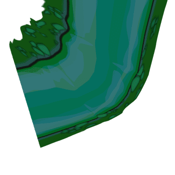
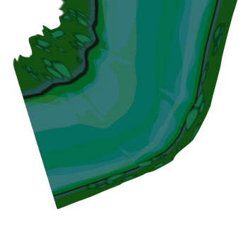
Natural Bridge Cave, a lava tube in Lava Beds National Monument, California. The data here are from a tripod mounted Laser Scanner (LiDAR). The colors are LiDAR intensity, a proxy for surface roughness. Blue areas are smooth (the road) while red areas are rough. These data were collected by the TUBEX Team, funded by NASA through the PSTAR program.


