Select or drop a image or 3D model here to search.
We support JPG, JPEG, PNG, GIF, WEBP, GLB, OBJ, STL, FBX. More formats will be added in the future.
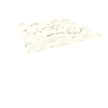
Asset Overview
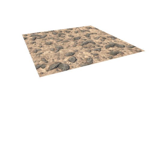
The Parana valles and basin system is a large (ca. 150 km) basin that used to host a large lake. The lake overflows and resulted in a large outlet canyon, seen flowing to the north (up to the top of the image).
Location on Mars: 23.1°S 10.2°W (https://en.wikipedia.org/wiki/Paran%C3%A1_Valles).
Valley networks and outflow channel are shown mapped on the surface (blue). To see this without mapping, see https://skfb.ly/o8HKH (see also our article: https://www.nature.com/articles/s41586-021-03860-1, where these features were published; Goudge et al., 2021, Nature). The Parana lake (before oveflow) is also shown in a light green-blue shaded region.
Data: MOLA topography (https://tharsis.gsfc.nasa.gov/MOLA/mola.php) and THEMIS images (https://themis.asu.edu/)
Exported from QGIS (vertical exaggeration = 10).