Select or drop a image or 3D model here to search.
We support JPG, JPEG, PNG, GIF, WEBP, GLB, OBJ, STL, FBX. More formats will be added in the future.
Asset Overview
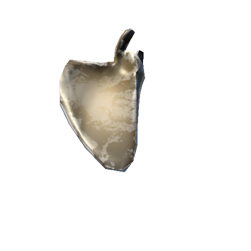
Exposed by the incision and channel migration of the Burbage Brook as it drops off the Eastern Edges to join the River Derwent in the Hope Valley (Derbyshire, UK), this river cliff exposes shale (a friable sedimentary rock).
The section is roughly 3 m in height with stream flow from left to right. The strata exposed comprise Marsden Formation - Mudstone and Siltstone (Carboniferous Period).
The model was made from only 28 smartphone photos in March 2022 and processed via Agisoft.
Version: Shale Bank2
