Select or drop a image or 3D model here to search.
We support JPG, JPEG, PNG, GIF, WEBP, GLB, OBJ, STL, FBX. More formats will be added in the future.
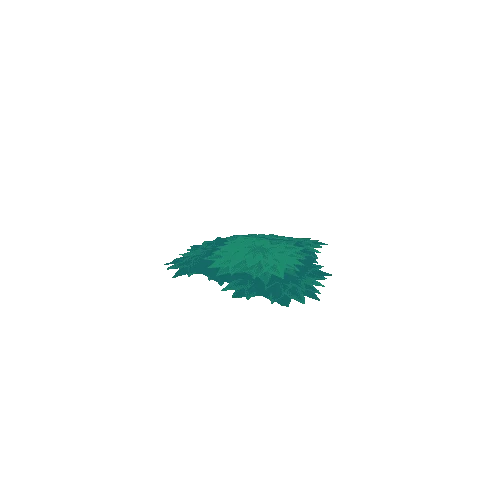
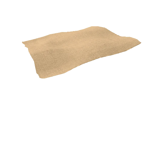
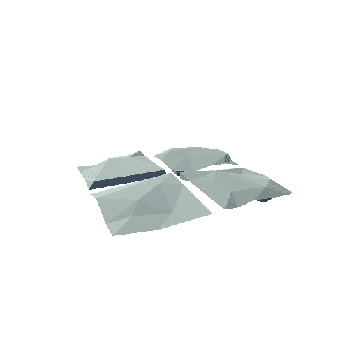
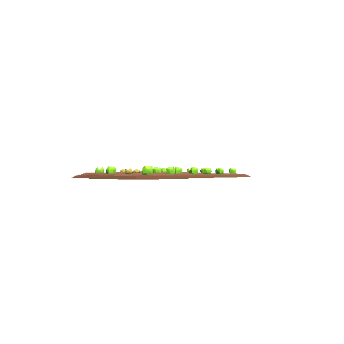
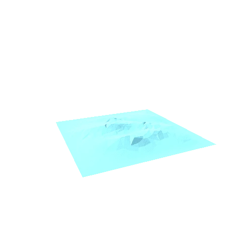
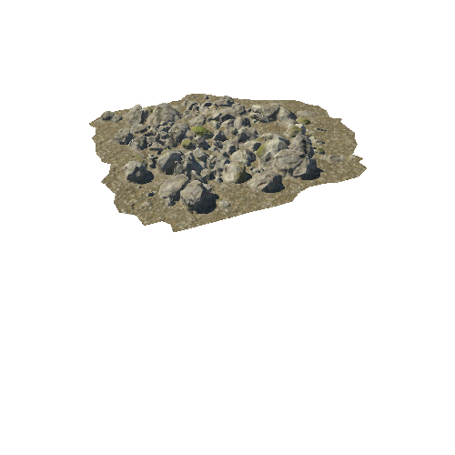
Asset Overview
3D model of a photogrammetric survey made with the Mavic 2 zoom drone in Siurana (Girona).
We took 6 control points with a GPS surveying station and the flight was made at 65 meters high, in 12 minutes of flight and we obtained an orthomosaic of 2, 3 cm / pixel.