Select or drop a image or 3D model here to search.
We support JPG, JPEG, PNG, GIF, WEBP, GLB, OBJ, STL, FBX. More formats will be added in the future.
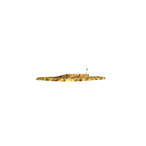
Asset Overview
45.186110 N, 64.173472 W
Scene is approximately 350 m x 350 m
Near Cheverie, Nova Scotia on the shore of the Bay of Fundy (tides ~13 m)
[Map](https://goo.gl/maps/DvexibCcDsF11Xgy7)
Split Rock is a headland in the inner reaches of the Bay of Fundy, famous for its extreme tidal range. The coastal section at low tide exposes a spectacular folded sedimentary sequence. The shales and siltstones are part of the early Carboniferous (~350 Ma) Horton Bluff Formation and the folding is constrained to older than 315 Ma based on cross cutting diabase dykes ([Waldron et al., 2010](https://doi.org/10.1139/E09-071))
Approximately 345 images taken with a Phantom 4 Pro. Grid pattern (75% overlap) at 70 m altitude and oblique images to cliff at ~40-50 m from cliff face.