Select or drop a image or 3D model here to search.
We support JPG, JPEG, PNG, GIF, WEBP, GLB, OBJ, STL, FBX. More formats will be added in the future.
Asset Overview
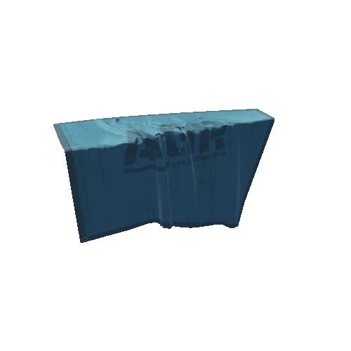
Plate interface and major fault, with tomographic slice.
Sources for terrain model:
* Generator: DEM Net Elevation API - https://elevationapi.com
+ Digital Elevation Model: GEBCO Compilation Group (2019) GEBCO 2019 Grid (doi:10.5285/836f016a-33be-6ddc-e053-6c86abc0788e)
+ https://www.gebco.net/data_and_products/gridded_bathymetry_data/gebco_2019/gebco_2019_info.html
+ Imagery: Esri World Imagery - https://services.arcgisonline.com/ArcGIS/rest/services/World_Imagery/MapServer
3D elements assembled in Blender.







/Screenshots/ModularElements3 (7)_20.png)
