Select or drop a image or 3D model here to search.
We support JPG, JPEG, PNG, GIF, WEBP, GLB, OBJ, STL, FBX. More formats will be added in the future.
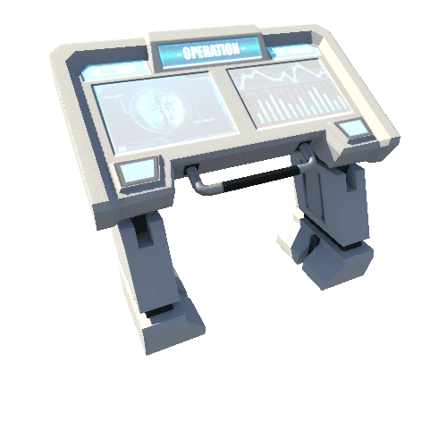
Asset Overview
This is a scan of a talus cave in Northern California made using a Caveatron LIDAR scanner. The scan is 84m in length over 26 stations. It was shot in 1hr and 45min by two members of the NSS Redwood Grotto using a $400 open source hand-held LIDAR scanner. Welcome to the new age of cave survey.