Select or drop a image or 3D model here to search.
We support JPG, JPEG, PNG, GIF, WEBP, GLB, OBJ, STL, FBX. More formats will be added in the future.
Asset Overview
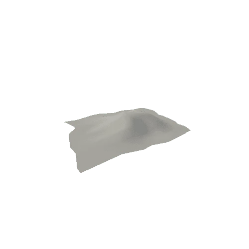
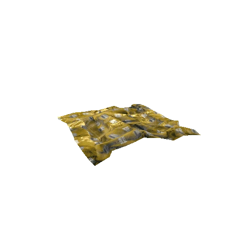
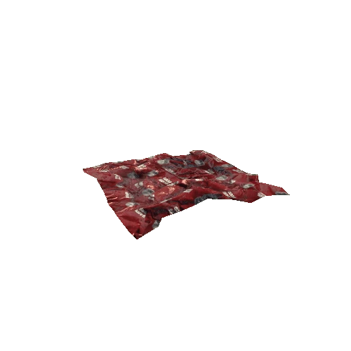
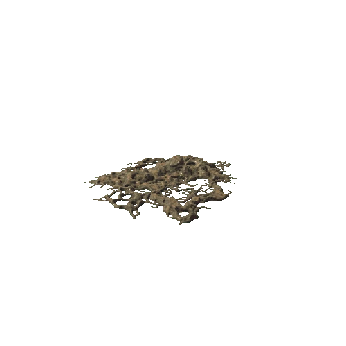
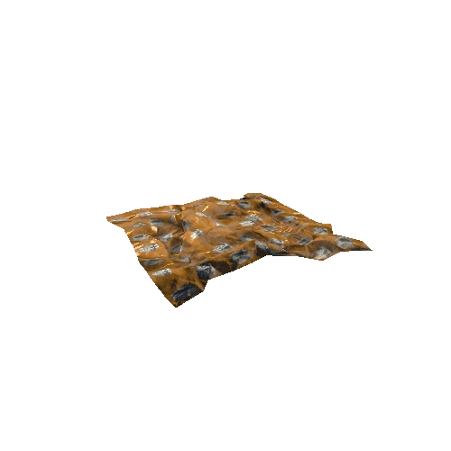
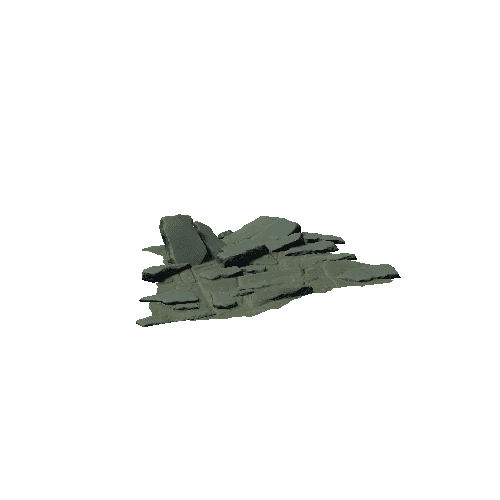
**Island of Vulcano, Italy. **
Comparison between terrain model from 30m SRTM data, and [model from photogrammetry using 3 black and white aerial photos from the 1950s](https://skfb.ly/6TuQH).
The old aerial photos result in a model with less coverage and lower-quality texture, but higher 3D resolution. This can be easily seen by turning "matcap" on in the model inspector, and comparing the obsidian flow between the two models (annotations 1 and 2).
The raw model from aerial photos also has a vertical exaggeration of about 2x, therefore 2x has been used for the SRTM DEM as well.
Source of model from SRTM:
* Generator: [DEM Net Elevation API](https://elevationapi.com)
* Digital Elevation Model: [SRTM_GL1 OpenTopography](https://opentopography.org/)
* Imagery: [Esri World Imagery](https://services.arcgisonline.com/ArcGIS/rest/services/World_Imagery/MapServer)