Select or drop a image or 3D model here to search.
We support JPG, JPEG, PNG, GIF, WEBP, GLB, OBJ, STL, FBX. More formats will be added in the future.
Asset Overview
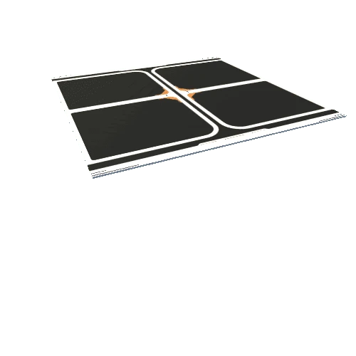
5 cm microtopographic surface model created from terrestrial laser scanning in Black Ash wetlands of Minnesota.