Select or drop a image or 3D model here to search.
We support JPG, JPEG, PNG, GIF, WEBP, GLB, OBJ, STL, FBX. More formats will be added in the future.
Asset Overview
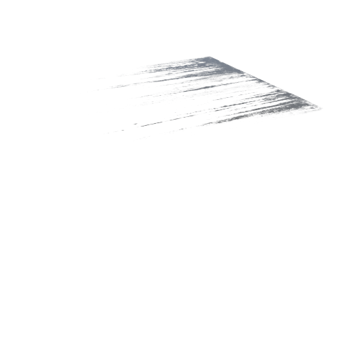
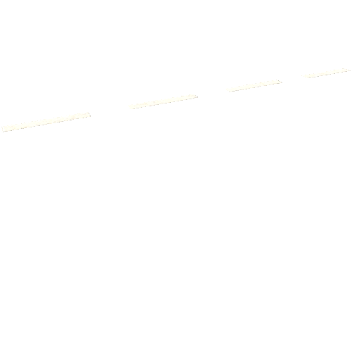
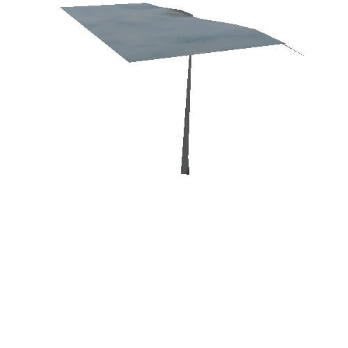
This model is a half mile long roadwway in Vancouver, WA for a local survey firm. 10 air targets were used for the project and we were able to achieve better than 0.05ft accuracy in XY and cm accuracy in Z for the hard surface areas. The level of detail provided in the 3D point cloud model allowed the survey firm to save time in the field locating utilities and planimetrics were able to be extracted from the dense point cloud for curb and sidewalk edges.