Select or drop a image or 3D model here to search.
We support JPG, JPEG, PNG, GIF, WEBP, GLB, OBJ, STL, FBX. More formats will be added in the future.
Asset Overview
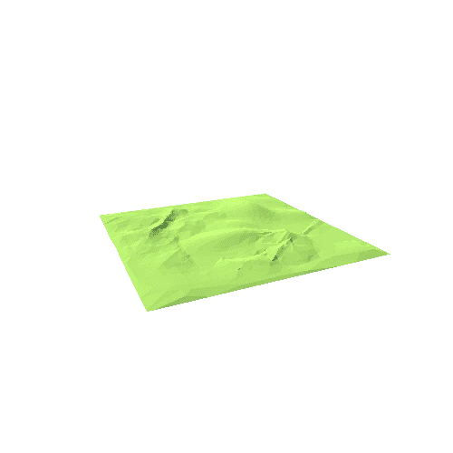
Geological map of Breiðdalur central volcano in Iceland. The DEM is sourced from LMI Arctic DEM, cartography done in QGIS. Terrain shading by QGIS plugin "Terrain Shader" and model made in qgisthree2js.
The image probably needs a bit of editing to remove the distortion at the edge of the DEM but I'll do that later.


