Select or drop a image or 3D model here to search.
We support JPG, JPEG, PNG, GIF, WEBP, GLB, OBJ, STL, FBX. More formats will be added in the future.
Asset Overview
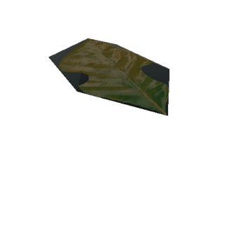
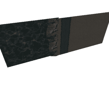
Grey Rocks is about 1 kilometre north of Bingie Bingie Point on the NSW south coast. This drone imagery shows the northernmost coastal outcrop of the Tuross Head Tonalite. A number of unusual intrusive examples feature along the outcrop which is ~200 metres long. At the northern end of the outcrop, a basaltic dyke has intruded still partly molten tonalite and has subsequently been disaggregated. At its southeastern extent (1), the dyke has broken up in a brittle fashion, while at its northwesterly end (2) the behaviour is more ductile. At (3) another basaltic dyke has intruded, and movement in the host magma has bent the dyke into a "W" shape. A large dacitic dyke has intruded across the older basaltic dyke at (4). Dioritic microgranitoid enclaves (5) are common in the tonalite. The tonalite transitions into more mafic diorite (6) at the northern end of the outcrop with many examples of magma mingling.