Select or drop a image or 3D model here to search.
We support JPG, JPEG, PNG, GIF, WEBP, GLB, OBJ, STL, FBX. More formats will be added in the future.
Asset Overview
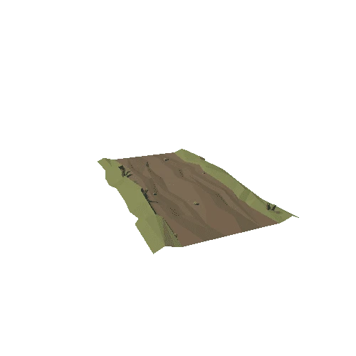
Shackleford contains four mounds and a village midden (refuse site) near where Cypress Bayou flows into Shackleford Lake. Two mounds (Mds. A and D?) and the midden are on the edge of the bayou, another (Md. B) is on the bluff about 20 feet above the lake, and the fourth (Md. C) is about 400 feet west of Mound A. Although a 1935 sketch map illustrated two mounds connected by a causeway, no evidence of a causeway exists today. The largest mound (Md. A) is about 13 feet high, almost 145 by 130 feet at the base, and 45 feet square at the summit. Testing identified seven building stages atop a prepared sand base. The second largest (Md. B, not visible) is 4 feet tall and 225 by 75 feet at the base. The other mounds are small and hard to see. Four radiocarbon samples date the site to about AD 800 (Coles Creek period). *[Indian Mounds of Northeast Louisiana](https://www.crt.state.la.us/dataprojects/archaeology/moundsguide/shacklefordchurch.html)*