Select or drop a image or 3D model here to search.
We support JPG, JPEG, PNG, GIF, WEBP, GLB, OBJ, STL, FBX. More formats will be added in the future.
Asset Overview
English below:
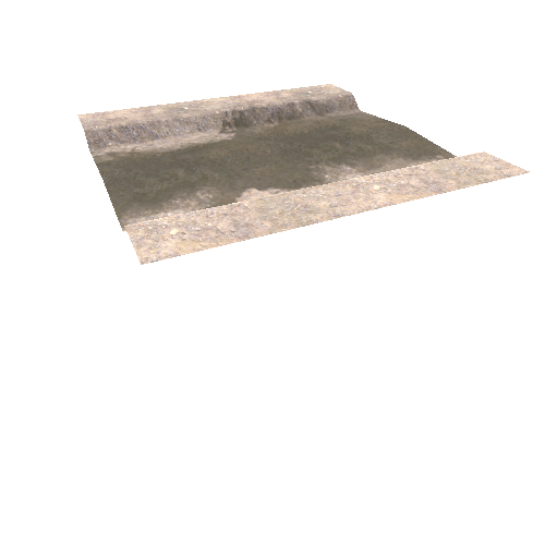
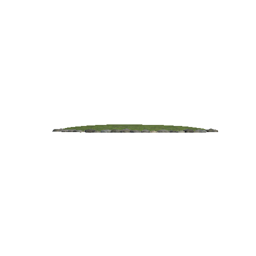
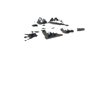
Þrívíddarlíkön af Gossvæðinu í Meradölum unnin af myndmælingateymi Náttúrufræðistofnunar Íslands og Landmælinga Íslands. Myndirnar eru teknar úr flugvél og myndmælt í Agisoft Metashape. Verkefnið er unnið í samstarfi við Almannavarnir og Háskóla Ísland.
3D models of the eruption site at Meradalir created by the photogrammetry department of the Icelandic Institute of Natural History and The National Land Survey of Iceland. The photographs are taken from an aircraft and processed in Agisoft Metashape. The models are developed in collaboration with the Civil Protection and Emergency Management of Iceland and the University of Iceland.
Date: 3 August 2022
Data acquired by J. M. C. Belart
Model generated by Landmælingar Íslands