Select or drop a image or 3D model here to search.
We support JPG, JPEG, PNG, GIF, WEBP, GLB, OBJ, STL, FBX. More formats will be added in the future.
Asset Overview
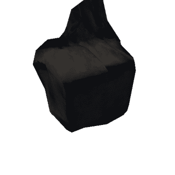
Matcap will show the detail of the stone markings beautifully.
It should be noted that a few more details are evident on this rendering compared to John Sheriff's 1995 illustration.
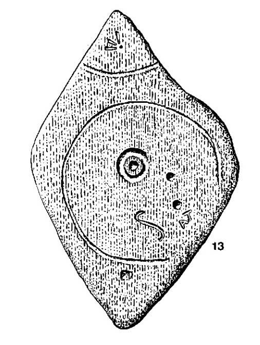
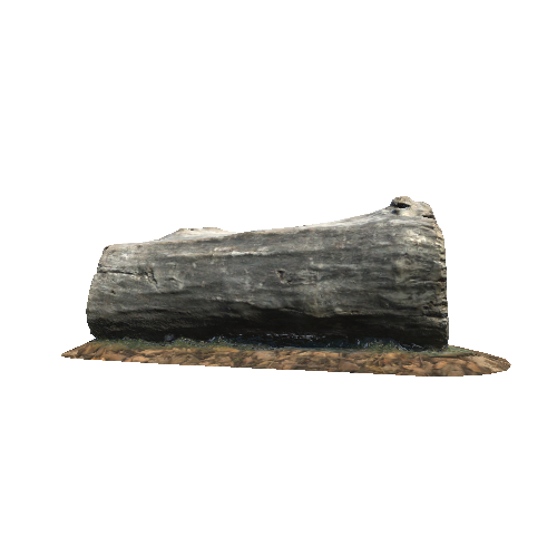
This stone is no longer in it's original postion, being moved 130 yards south from a road junction. The stone previously sat on the boundary between the parishes of Dunnichen and Rescobie. "Girdle" refers to the larger circle which resembles a cooking utensil of the same name. There is a cup and ring mark in the center with additional cup marks, an elongated S and more modern graffiti. Also visible are Ordnance survey marks.
Plus one folk tale surrounds this stone :-
“Tradition says a witch was carrying this boulder from ‘the Crafts’ of Carmylie in her apron, when the strings broke, and the stone fell where it now lies.” (Alex Warden 1882)