Select or drop a image or 3D model here to search.
We support JPG, JPEG, PNG, GIF, WEBP, GLB, OBJ, STL, FBX. More formats will be added in the future.
Asset Overview
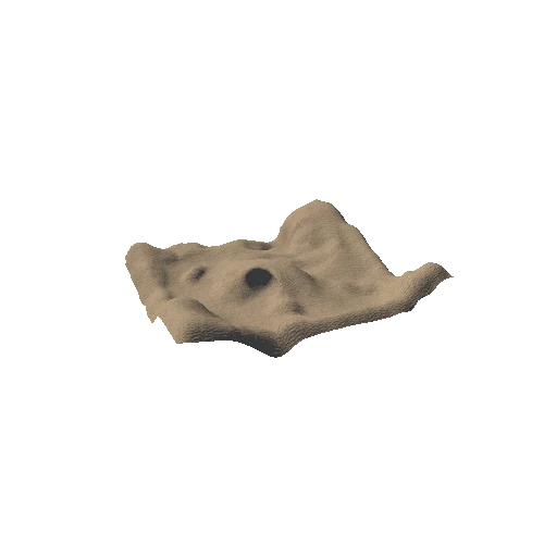
The top portion of the bank that formed the inner defences of the Royal Fort was found at 0.50m below the current ground-level. This bank (214 / 217) is composed of a rubble bank with a steep pitch to the south which, beyond the extent of the trench, a ditch should be situated.
The fill (215) towards the southern end of the bank likely dates to the 1655 slighting of the fort. This backfill created a level surface between the peak of the bank and the edge of the fort wall.
Evidence of Repton’s 1799 alternation of the landscape is very clear, with significant deposits of natural clay capping these earlier deposits. Deposits of mortar and wall packing in (216) are likely from other areas of the fort where Repton has pulled down the wall and earthen bank to create gentler inclines.
The final phase of the trench are shallow cuts for either garden features or other vegetation. The larger central feature with two other ovel-shaped features, to the north-east and north-west of the trench.).
[RFG21TR02_Q_01.LQ]


