Select or drop a image or 3D model here to search.
We support JPG, JPEG, PNG, GIF, WEBP, GLB, OBJ, STL, FBX. More formats will be added in the future.
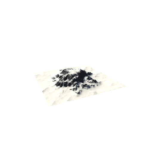
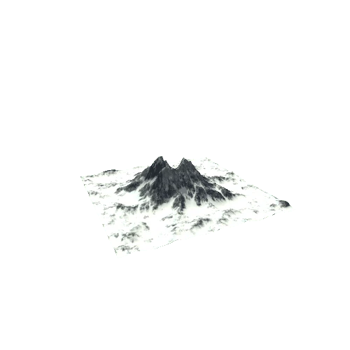
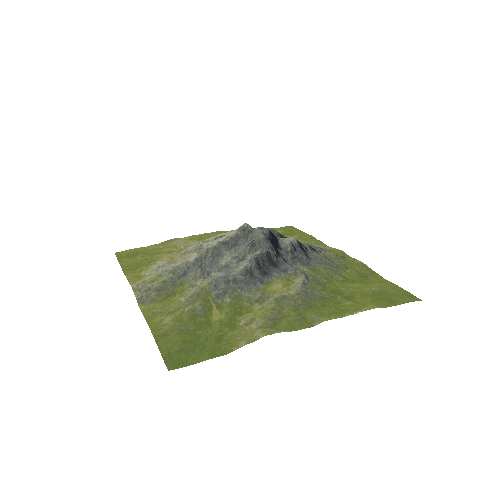
Asset Overview
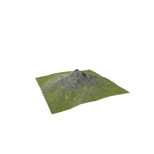
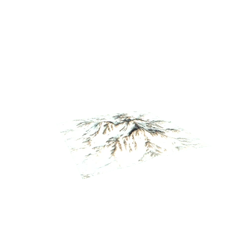
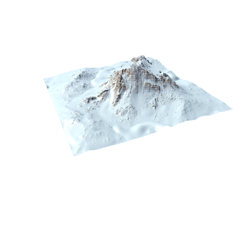
This is a 3D LiDAR model of Pen Dinas Iron Age Hillfort. The model uses 50 cm resolution LiDAR made available via Natural Resources Wales on an Open Government Licence here http://lle.gov.wales/GridProducts#data=LidarCompositeDataset The LiDAR has been used to create a digital terrain model (DTM) with modern structures (houses, monument) trees and larger shrubs stripped off to reveal the finer detail of the bare earth surface.
The hillfort is currently the subject of a detailed new investigation combining multiple sources of information and specialists in a collaborative community project. The project was initiated by the Penparcau Community Forum: History and Heritage Group https://www.facebook.com/groups/Penparcauhistory/
The hillfort was first investigated by Professor Daryll Forde in 1933-37 and the report published in Archaeologia Cambrensis in 1963. The hillfort has multiple phases, perhaps beginning circa 300 BC and declining shortly after the Roman invasion of 43 AD.