Select or drop a image or 3D model here to search.
We support JPG, JPEG, PNG, GIF, WEBP, GLB, OBJ, STL, FBX. More formats will be added in the future.
Asset Overview
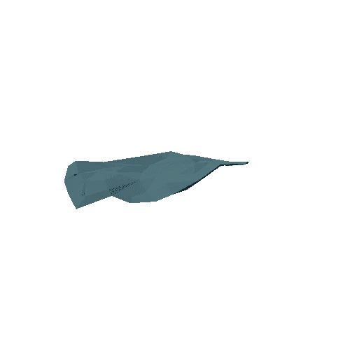
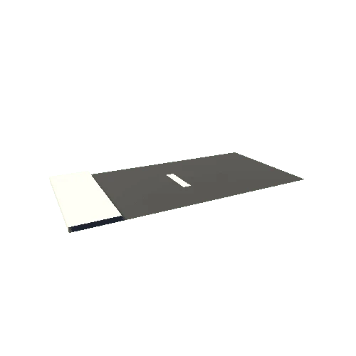
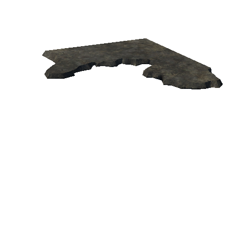
Country estate in upper austria near a quarry.
The scan was done with a DJI Mavic 2 Pro drone.
Flight height was 120 meters.
Picture overlapping was around 70 %