Select or drop a image or 3D model here to search.
We support JPG, JPEG, PNG, GIF, WEBP, GLB, OBJ, STL, FBX. More formats will be added in the future.
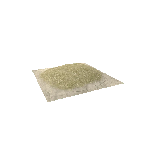
Asset Overview
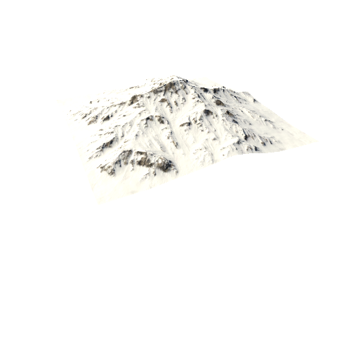
Mount Fuji LIDAR Dot and Color Map - Japan
Japan’s Mt. Fuji is an active volcano about 100 kilometers southwest of Tokyo. Commonly called “Fuji-san,” it’s the country’s tallest peak, at 3,776 meters. A pilgrimage site for centuries, it’s considered one of Japan’s 3 sacred mountains, and summit hikes remain a popular activity. Its iconic profile is the subject of numerous works of art, notably Edo Period prints by Hokusai and Hiroshige.