Select or drop a image or 3D model here to search.
We support JPG, JPEG, PNG, GIF, WEBP, GLB, OBJ, STL, FBX. More formats will be added in the future.
Asset Overview
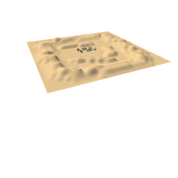
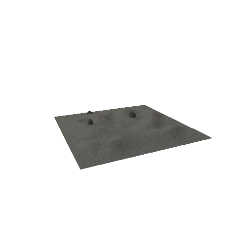
*Elevation data courtesy of the U.S. Geological Survey*
*Map data ©2019 Google*
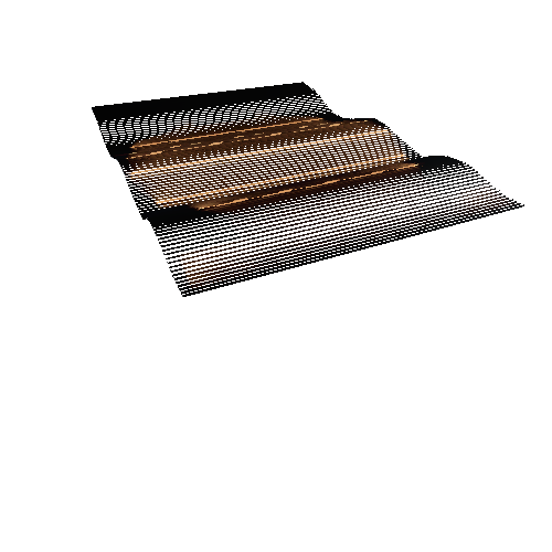
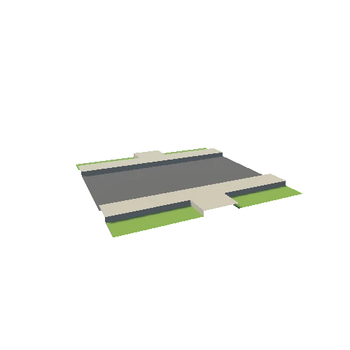
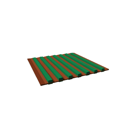
A topographical map of Neustift im Subaital, near Innsbruck in Austria. The model was created from data from the Shuttle Radar Topography Mission and overlaid with imagery from Google maps. The cyan and magenta lines are GPS tracks of two of my walks in that area.
Details of how the model was created can be found on my blog:
* https://theretiredengineer.wordpress.com/2019/03/24/3d-model-from-shuttle-radar-topography-mission-srtm-data/
* https://theretiredengineer.wordpress.com/2019/04/07/landsat-data-overlay-for-3d-models/
* https://theretiredengineer.wordpress.com/2019/07/28/srtm-data-take-2/