Select or drop a image or 3D model here to search.
We support JPG, JPEG, PNG, GIF, WEBP, GLB, OBJ, STL, FBX. More formats will be added in the future.
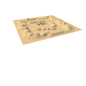
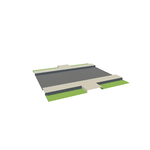
Asset Overview
Aerial survey was done of this site combined with a conventional survey on MGA and AHD.
Email us at surveyors@geodesy.com.au for more info and downloadable point clouds.
Contact us for quotes for your survey needs or visit our website www.geodesy.com.au.
We provide :
* Property surveys
* Conventional Surveys such as topographical and engineering surveys
* Cadastral Surveys
* Monitoring
* 3D laser scanning, UAV and 3D modelling
* Spatial Analysis