Select or drop a image or 3D model here to search.
We support JPG, JPEG, PNG, GIF, WEBP, GLB, OBJ, STL, FBX. More formats will be added in the future.
Asset Overview
[Original Text Here ](https://www.icemtl.ro/cetatea-medievala-enisala/)
The fortress, located 2 km from Enisala, on a limestone hill overlooking the Razim and Babadag lakes, was built in the second half of the fourteenth century, for military purposes, most likely by Genoese merchants, holders of the monopoly of navigation in the Sea. Black. It has an irregular polygonal plan, which follows the sinuosities of the land; the walls and bastions are preserved in some places on a height of 5-10 m. Integrated, during the reign of Mircea cel Batran, the defensive system of Wallachia, the fortress was abandoned in the context of the Turkish rule north of the Danube XV) and as a result of the formation of sand cords that separate Razim Lake from the Black Sea.
Address: Enisala, Sarichioi commune
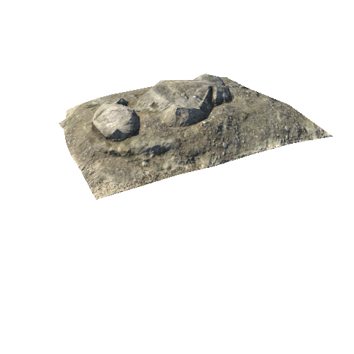
Photogrammetry done using dji Mini 2 and 749 photos