Select or drop a image or 3D model here to search.
We support JPG, JPEG, PNG, GIF, WEBP, GLB, OBJ, STL, FBX. More formats will be added in the future.
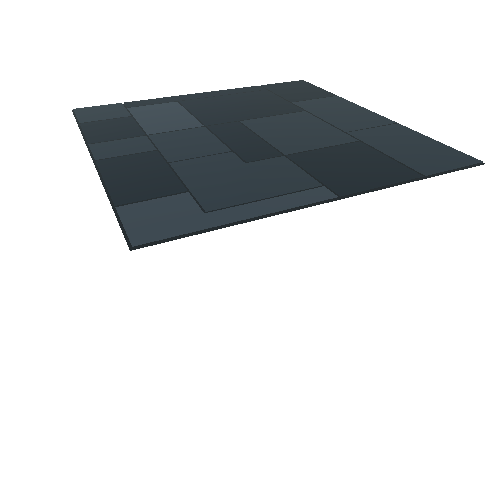
Asset Overview
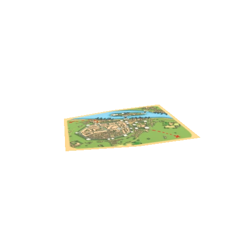
Digital Elevation Model: SRTM_GL3 OpenTopography - https://opentopography.org/
Farr, T. G., and M. Kobrick, 2000, Shuttle Radar Topography Mission produces a wealth of data. Eos Trans. AGU, 81:583-583.
Farr, T. G. et al., 2007, The Shuttle Radar Topography Mission, Rev. Geophys., 45, RG2004, doi:10.1029/2005RG000183. (Also available online at http://www2.jpl.nasa.gov/srtm/SRTM_paper.pdf)
Kobrick, M., 2006, On the toes of giants--How SRTM was born, Photogramm. Eng. Remote Sens., 72:206-210.
Rosen, P. A. et al., 2000, Synthetic aperture radar interferometry, Proc. IEEE, 88:333-382.
https://doi.org/10.5069/G9445JDF
---------------
Imagery: MapBox Outdoors - https://www.mapbox.com
© MapBox - OpenStreetMap contrib
* Generator: [DEM Net Elevation API](https://elevationapi.com)
* Digital Elevation Model: [SRTM_GL3 OpenTopography](https://opentopography.org/)
* Imagery: [MapBox Outdoors](https://www.mapbox.com)
* Data: [OpenStreetMap](http://www.openstreetmap.org)