Select or drop a image or 3D model here to search.
We support JPG, JPEG, PNG, GIF, WEBP, GLB, OBJ, STL, FBX. More formats will be added in the future.
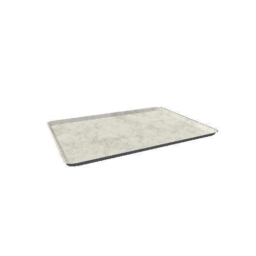
Asset Overview
Agua Dulce, Los Angeles County, California, USA
Easting: 378840.19 m E
Northing: 3816343.12 m N
Bedded and cross-bedded, indurated arkosic and conglomeratic sandstone with thin strata of silty claystone, deposited as alluvial flood-plain sediments by streams (Oligocene).
Z exaggeration x2
* Generator: [DEM Net Elevation API](https://elevationapi.com)
* Digital Elevation Model: [AW3D30 OpenTopography](https://opentopography.org/)
* Imagery: [Esri World Imagery](https://services.arcgisonline.com/ArcGIS/rest/services/World_Imagery/MapServer)Z